How can we redefine the land along the central Delaware River so that Philadelphia can advance a vibrant, resilient waterfront and establish a greener and more equitable city?
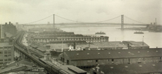
Over 300 years ago, in founding a new colony, William Penn sought to define Philadelphia as a “Greene Countrie Towne” in a verdant land of rivers, streams, marshes, hillocks, and valleys. As the region developed and progressed, however, Philadelphia moved away from this verdant vision and became a center of industry and commerce, with a bustling port on the Delaware River. Factories and shipyards polluted the waterfront landscape, turning it into a gritty industrial zone. In the last 50 years, when traditional “smokestack” industry moved on, brownfields and abandoned piers and buildings were left behind.
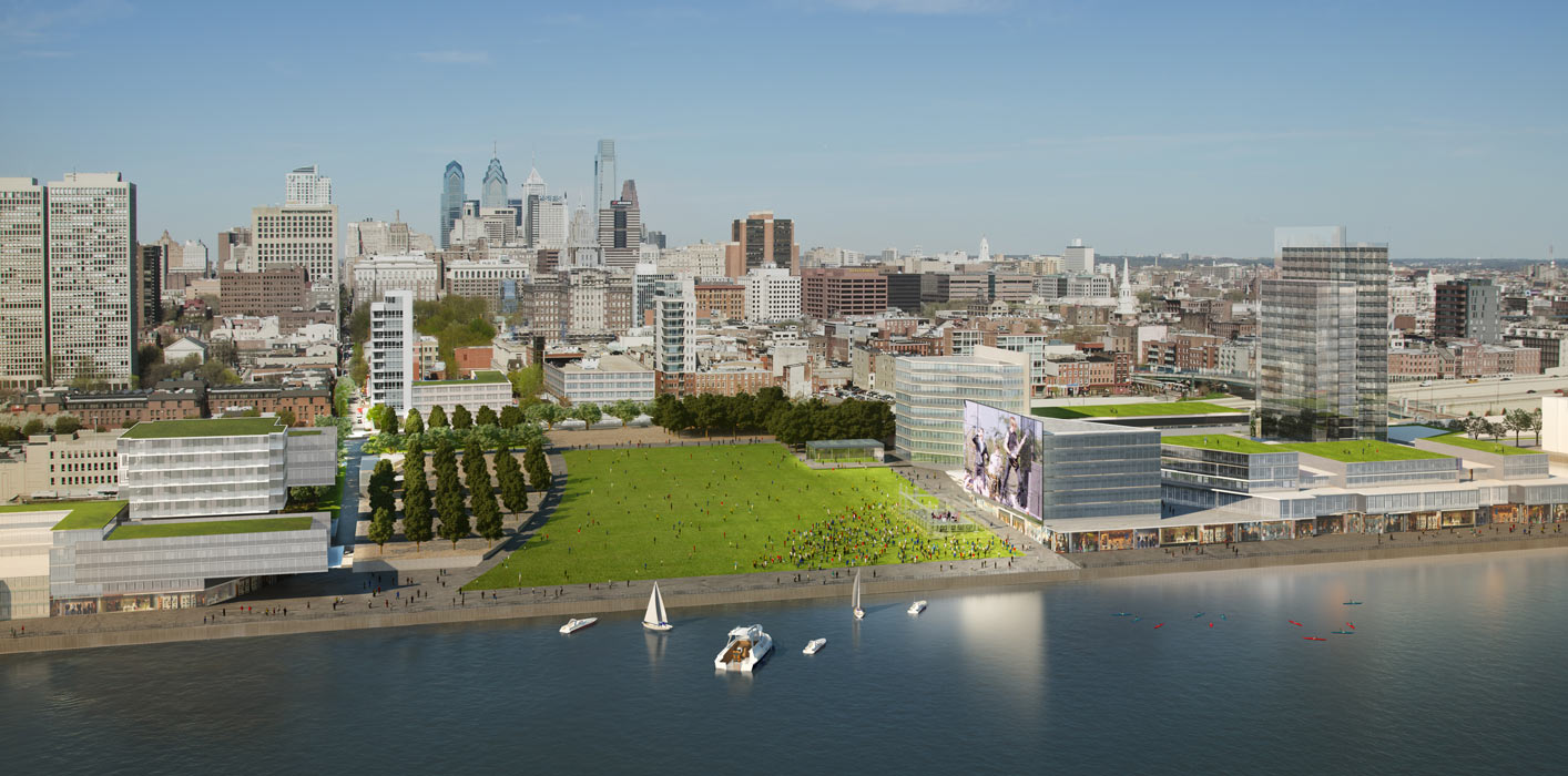
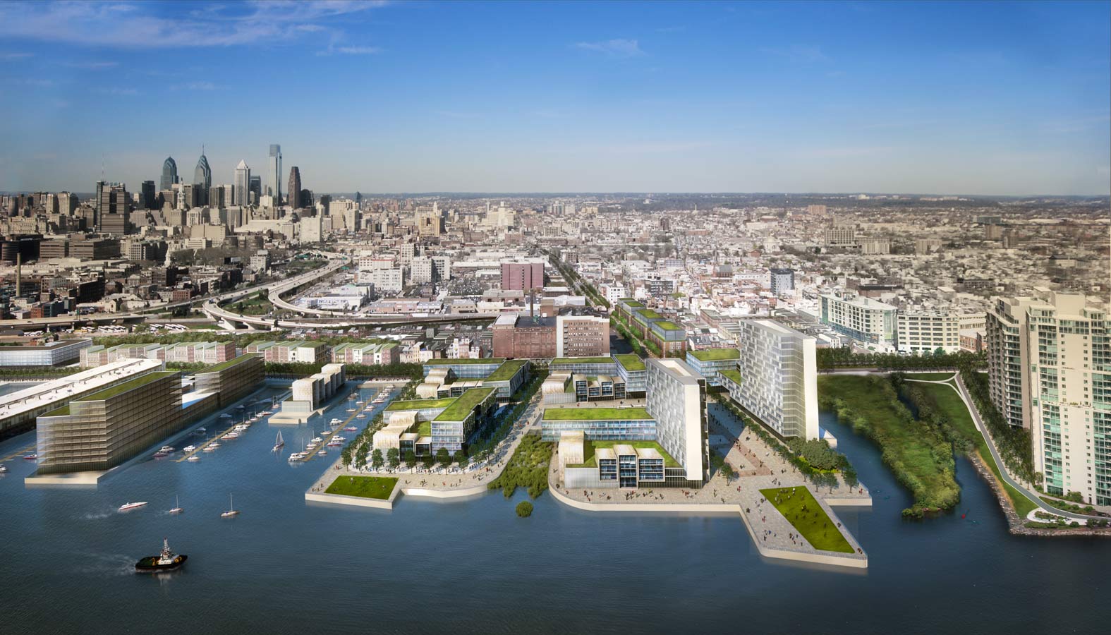
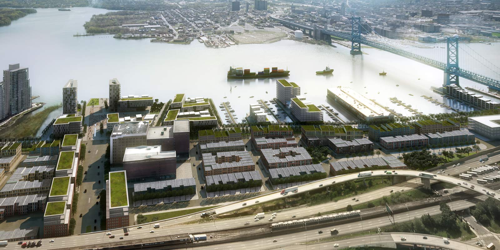
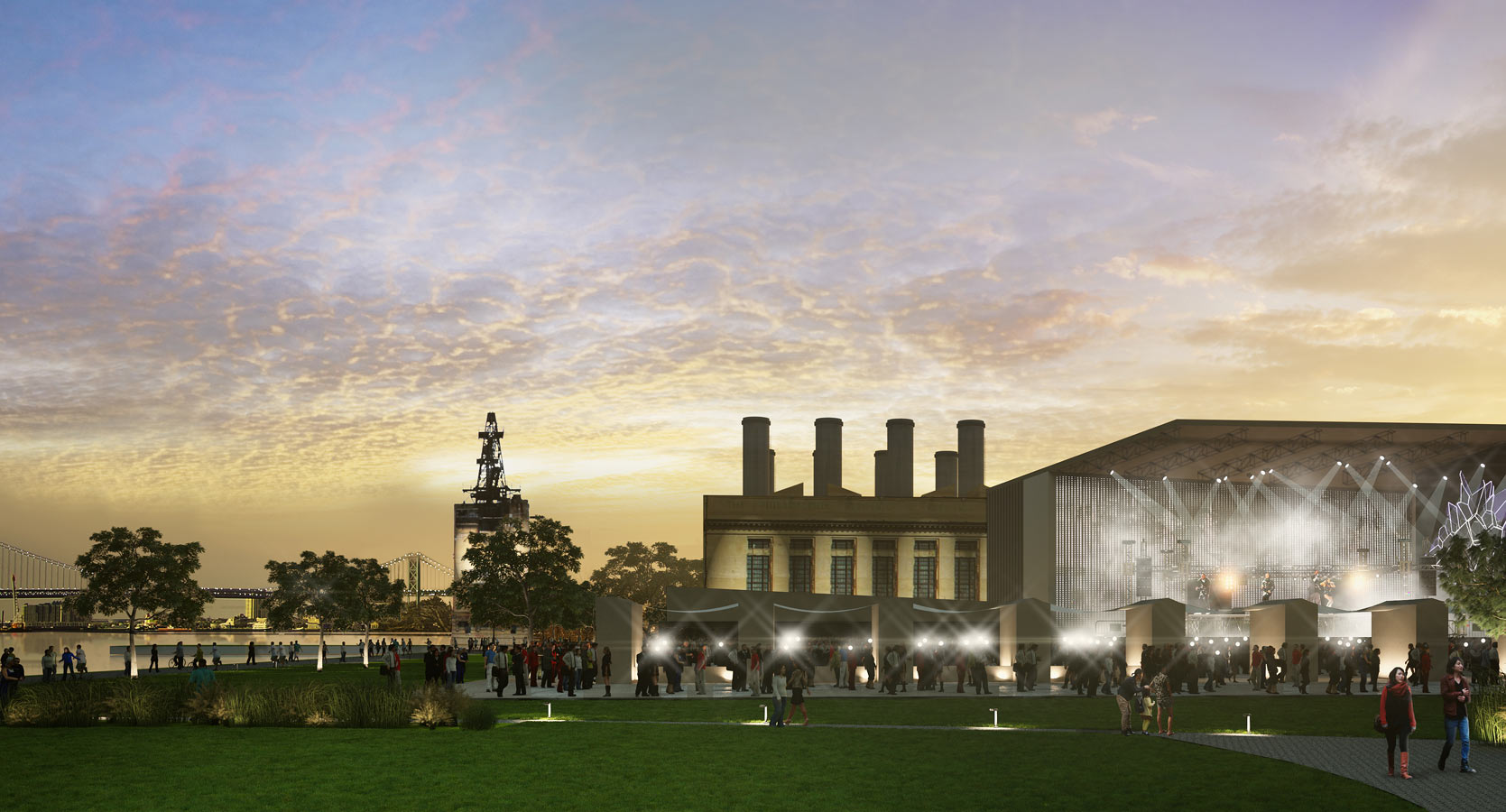
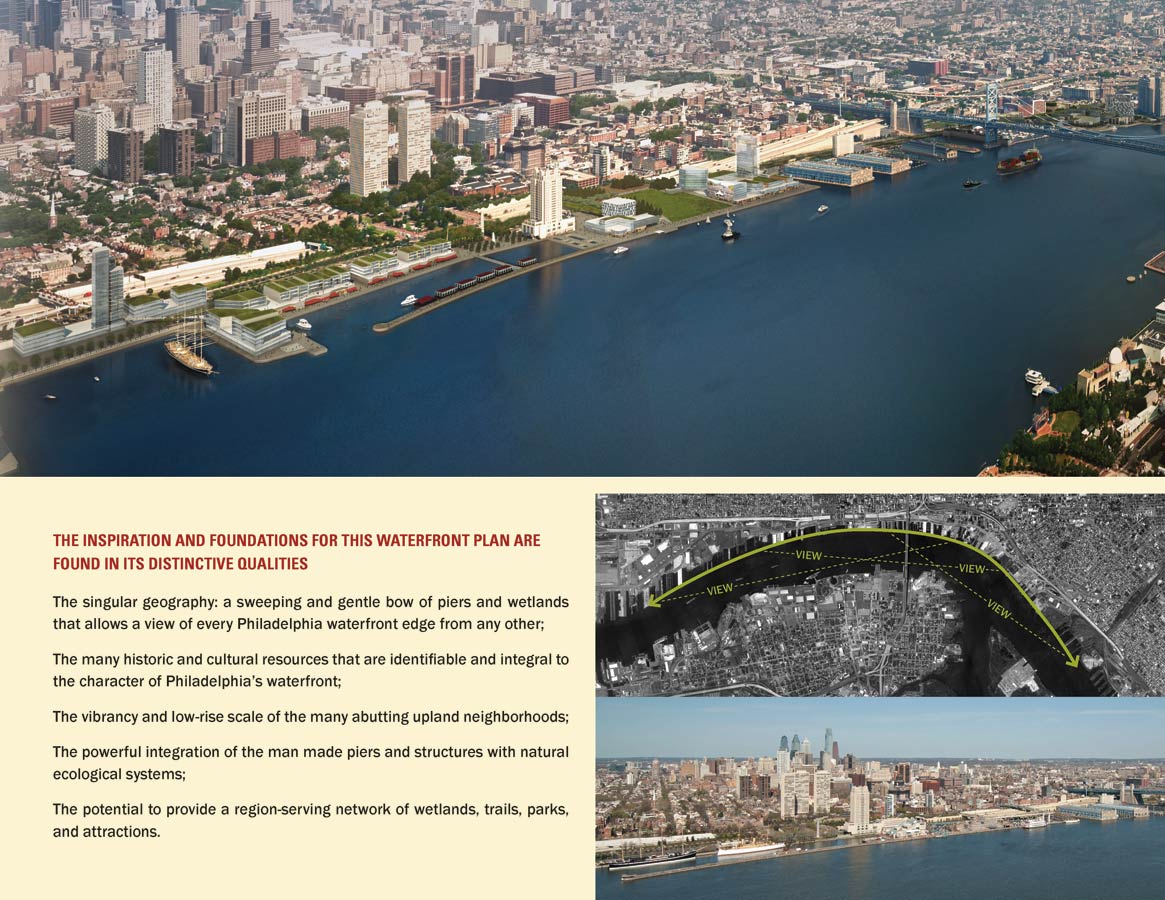
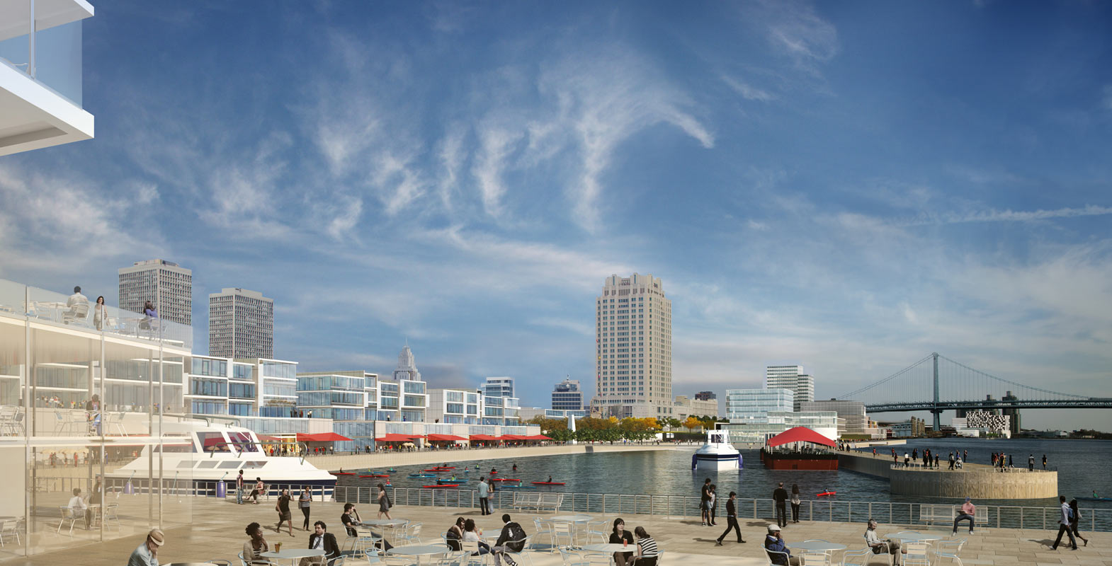
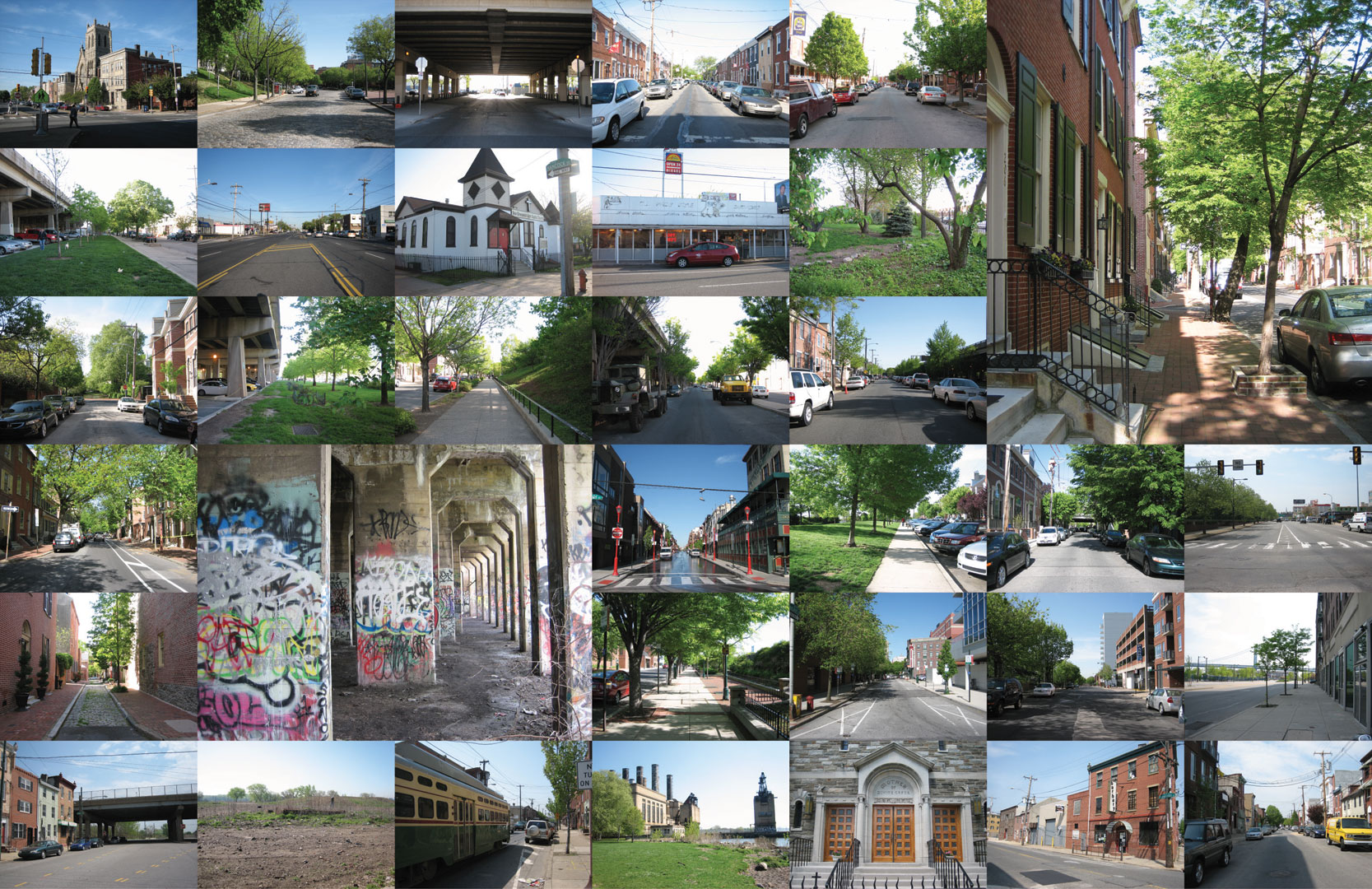
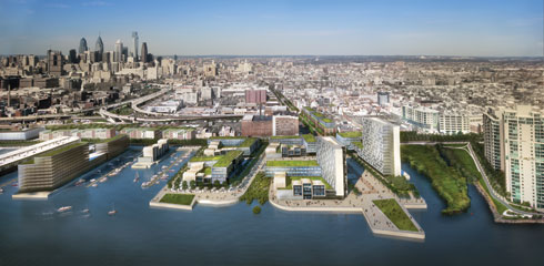
The Delaware River has historically been the front door of the city, and the waterfront was once the source of Philadelphia's wealth and power, but many of its functions have become obsolete, leaving the deterioration we see today. The Master Plan for the Central Delaware envisions transforming Philadelphia's central waterfront into an extension of the thriving city. It draws on the rich history of the land, the city's strong cultural assets, the character of adjacent neighborhoods, and a vital connection to residents and visitors through recreation and programming to create an authentically Philadelphia waterfront.
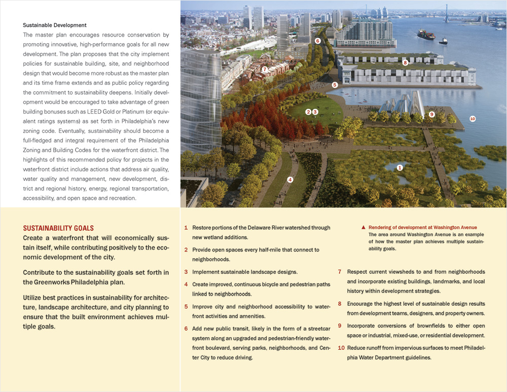
The master plan encourages resource conservation by promoting innovative, high-performance goals for all new development.
Green Space
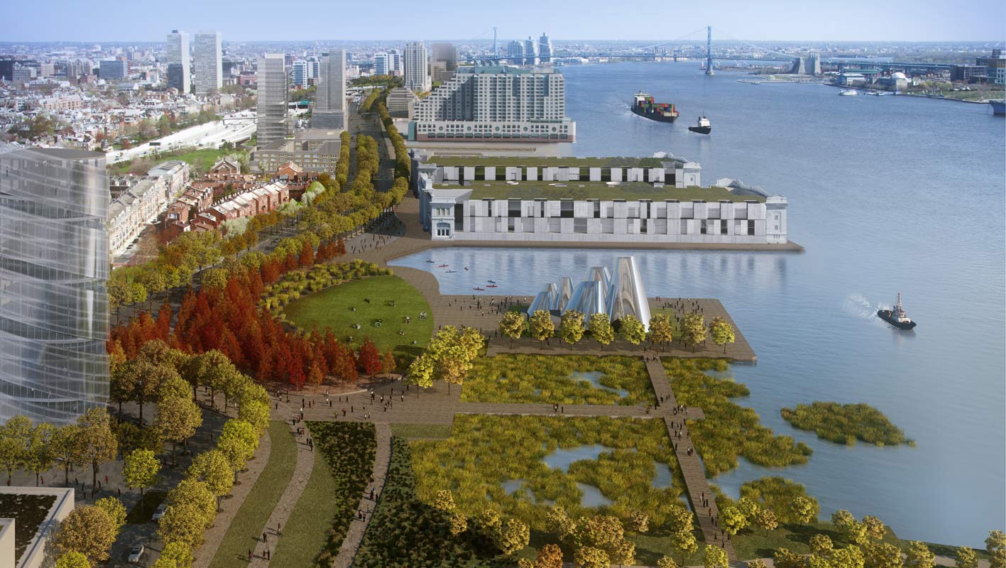
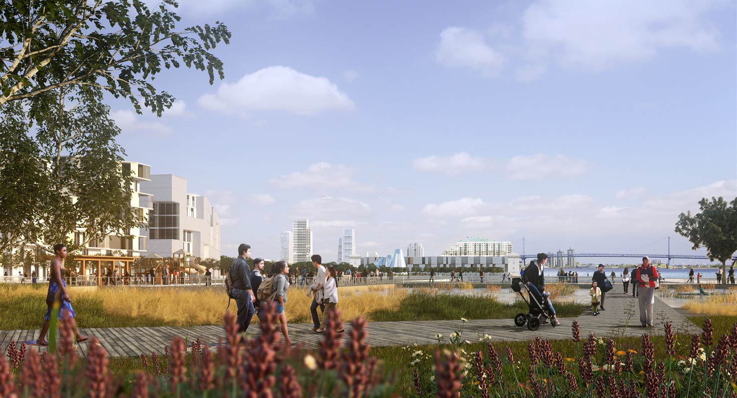
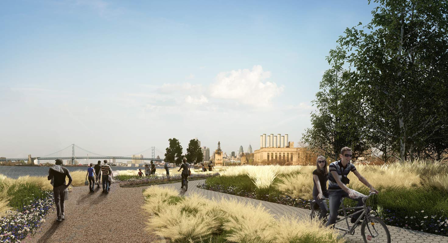
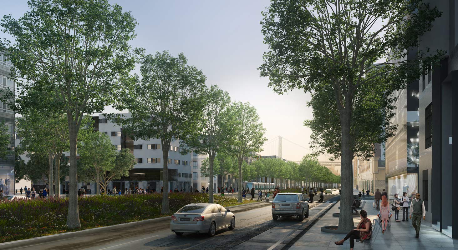
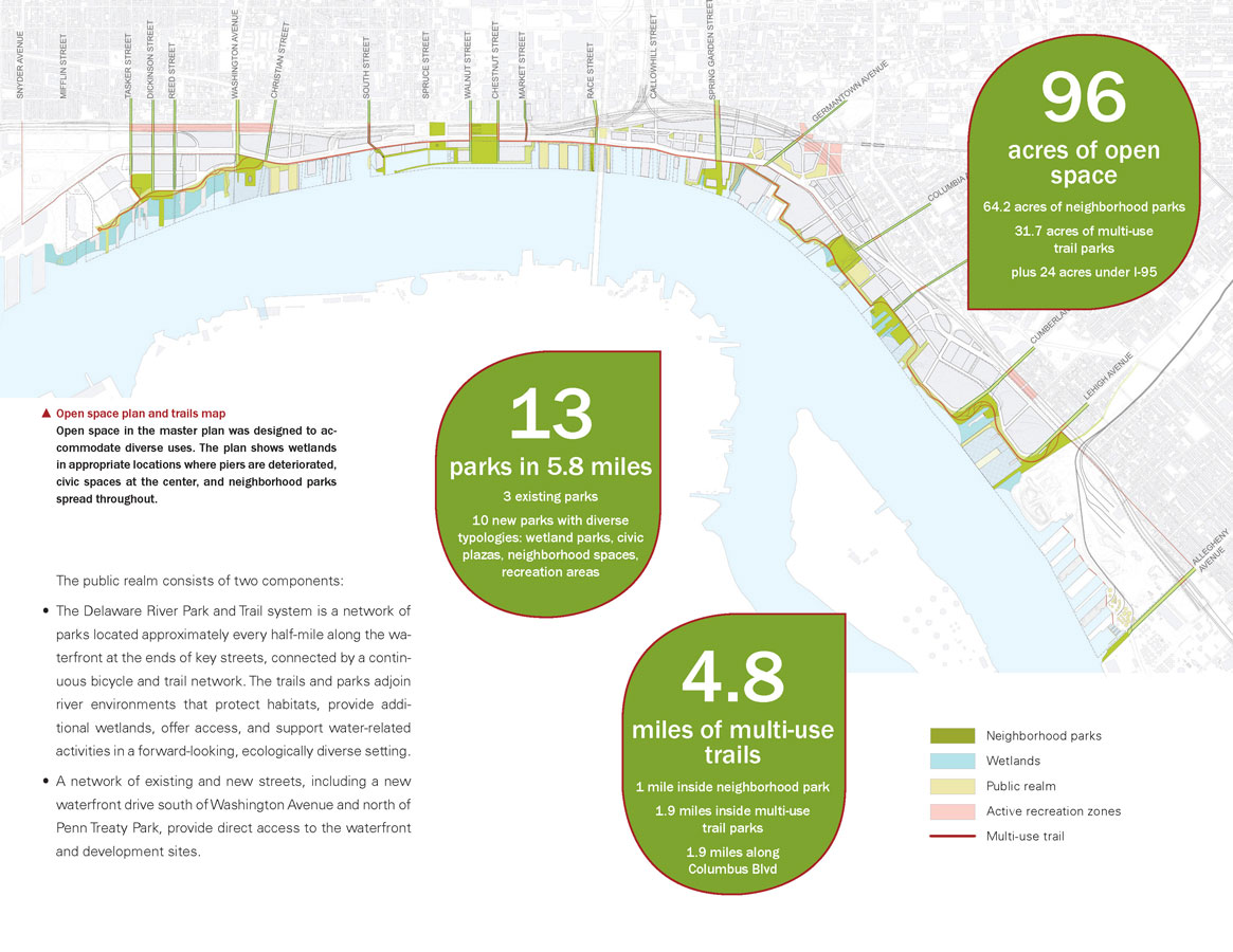
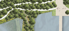
The 25-year plan offers the opportunity to balance areas of industry and development with significant green landscape and public space, reviving Penn's original vision. It proposes a public realm composed of parks, trails, and roads with the primary goal of reorganizing the formerly industrial waterfront into a landscape of twenty-first century urban development. The project was carefully formulated in critical dialogue with property owners and stakeholder groups, including neighborhood associations, elected officials, heads of state, and local agencies. At the end of each project phase, a public meeting was held to solicit feedback and provide progress updates.
Principles in the development of the master plan included the creation of a network of civic and public spaces as public amenities and catalysts for private development, and the promotion of new low- to mid-rise neighborhoods (in keeping with Philadelphia's historic building stock) to bring activity and life to the waterfront. Based on careful parcel-by-parcel studies of constraints and opportunities, a land use plan allows for diverse purposes, such as heavy industry versus neighborhood-scale development, with transition zones between them. Developing a public transportation dynamic that supports the walkability of the waterfront and its strong connection to the rest of the city and region is another integral component.
It is essential to the master plan that new development complement the distinct character of Philadelphia's neighborhoods.
Strategy
The plan sets forth an economic strategy based on rigorous cost estimating and analysis. It provides a practical implementation approach for the phasing and funding of public realm enhancements to encourage private development, including parks located at half-mile increments and a variety of multi-use trails and watershed restoration areas. A highly detailed short-term strategy to invest limited public funding in concentrated areas will stimulate the transformation. A waterfront that is environmentally as well as economically sustainable is a crucial goal, and the plan outlines best practices in sustainability for architecture, landscape architecture, and city planning.
A 270-page planning document and 24-page executive summary aggregate planning work that was begun in 2003 and finalized in 2011 by a multidisciplinary design team that included Cooper, Robertson & Partners, OLIN, and KieranTimberlake. The master plan was adopted by the City of Philadelphia in March 2012.


